
Remote Sensing & Survey
Aerial data is only useful if it is accurate enough to compare against itself.
We fly RTK-corrected missions with multispectral and high-resolution RGB sensors, so a survey flown this month can be measured against one flown last season, and the difference you see is a real change you can act on.
Repeatable surveys for land that changes
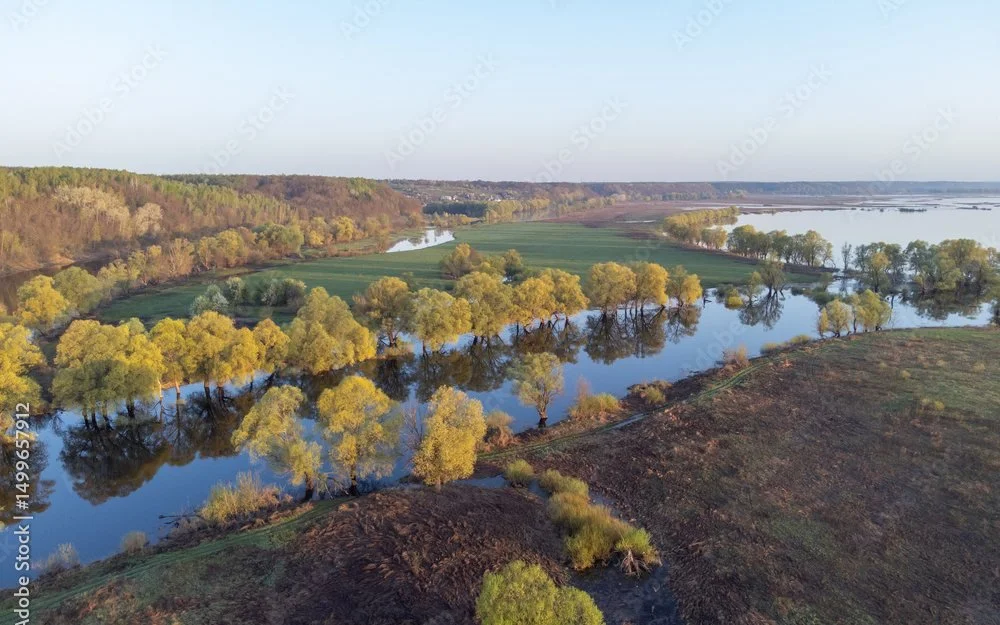 TRUE COLOUR
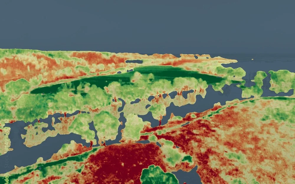 VEGETATION INDEX
Environmental & site monitoring
Repeatable surveys for restoration sites, watersheds, landfills, and remediation projects, tracking erosion, vegetation recovery, stockpile volume change, and site conditions over time.
Orchards & vineyards
Crop health, vigour variability, canopy development, and irrigation performance across blocks, mapped early enough in the season to act on.
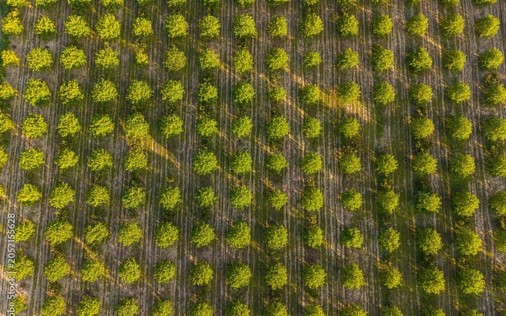 TRUE COLOUR
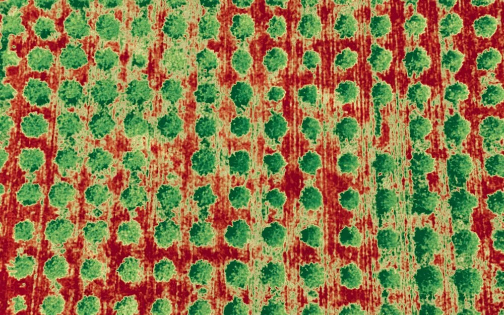 VEGETATION INDEX
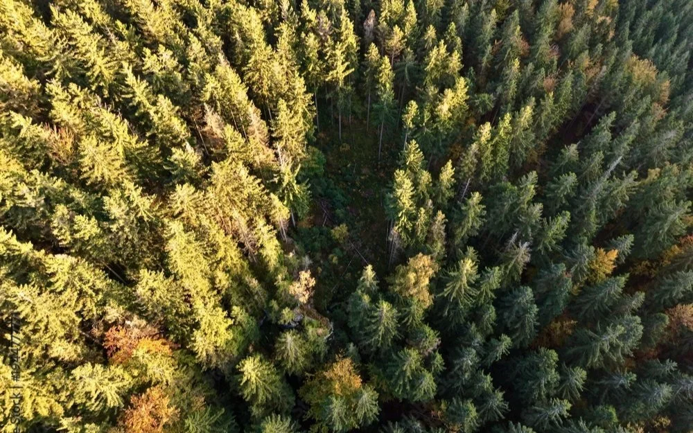 TRUE COLOUR
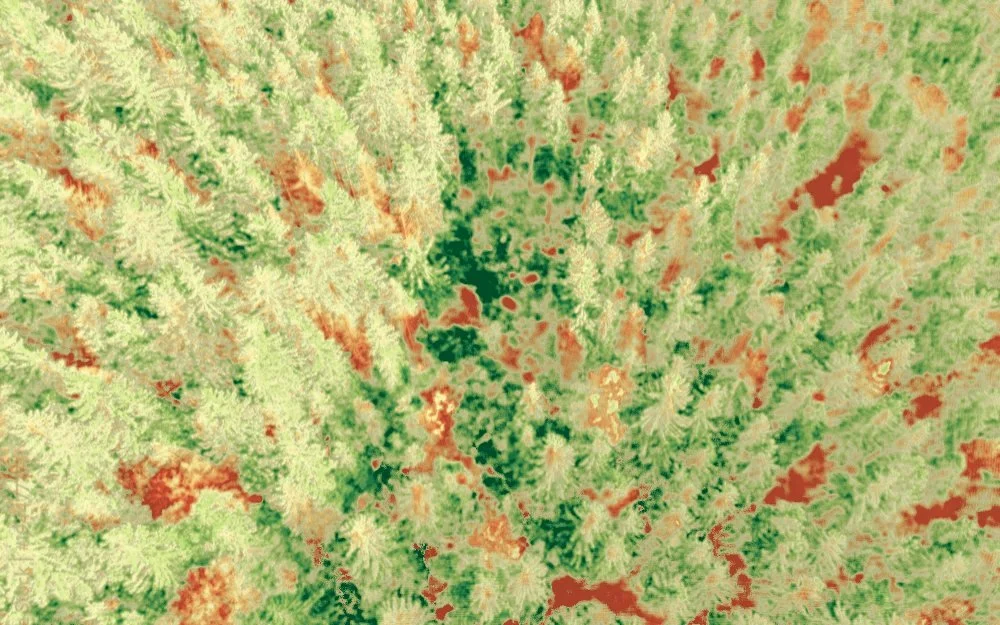 VEGETATION INDEX
Forestry
Canopy analysis, stocking, growth, and pest and disease tracking, with change detection across stands without walking every hectare.
Built for data you can compare season to season
DJI Mavic 3 Multispectral, capturing plant health bands alongside high-resolution colour imagery.
Centimetre-level positional accuracy, so repeat surveys line up with each other.
Transport Canada Advanced Operations pilot certificate.
Orthomosaic maps, vigour maps, volume estimates, and change comparisons between surveys.