
Who we are
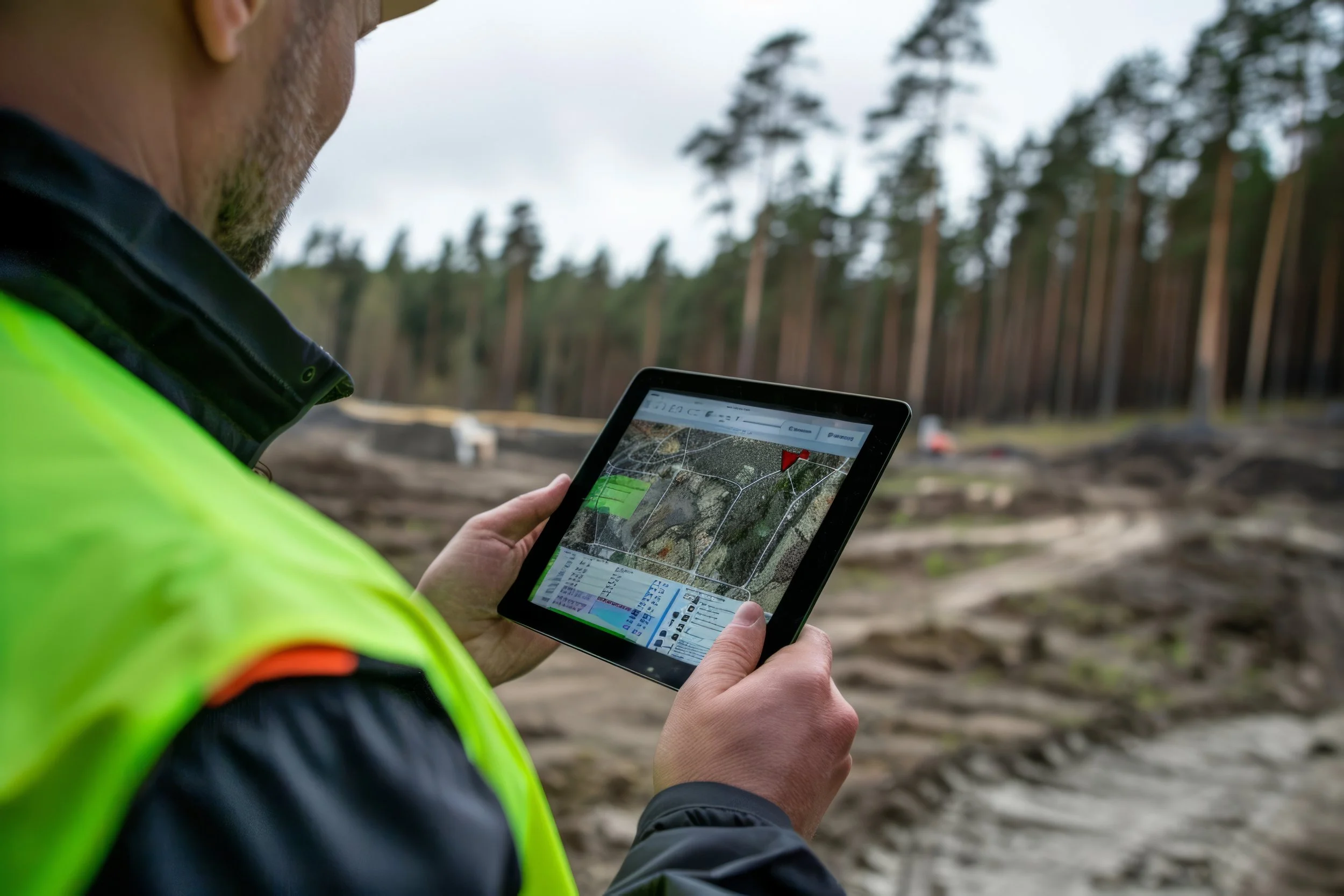
At Columbia Terrametrics, we provide aerial mapping and crop monitoring services using cutting-edge drone technology, including RTK/GNSS positioning and multispectral imaging. Based in the South Okanagan, we work with vineyards, orchards, forestry operations, and environmental projects to turn complex data into simple, actionable insights.
Our drones capture precise spatial and spectral data with centimeter level accuracy, allowing us to detect issues like crop stress, uneven growth, drainage issues, or soil variability early in the season. With multispectral imaging, we go beyond what the eye can see, helping clients monitor plant health, optimize inputs, and plan smarter harvests.
Whether you're managing a vineyard block, an orchard, a reforestation area, or a conservation site, we provide the clarity you need to make informed, timely decisions and get the most from your land—season after season.
Contact us
Interested in working together? Fill out some info and we will be in touch shortly. We can’t wait to hear from you!