
Precision Insights for Productive Land
Columbia Terrametrics delivers high-precision drone mapping and crop insights using RTK/GNSS positioning and multispectral imaging. We help vineyards, orchards, foresters, and land managers make data-driven decisions with confidence—improving yields, reducing waste, and managing land more efficiently.
About
Columbia Terrametrics
Industries

Orchards & Vineyards
We work with vineyards, orchards, and farms to deliver insights on crop health, ripening, and soil variability. Our data helps you make smart decisions about irrigation, spraying, and harvest timing.

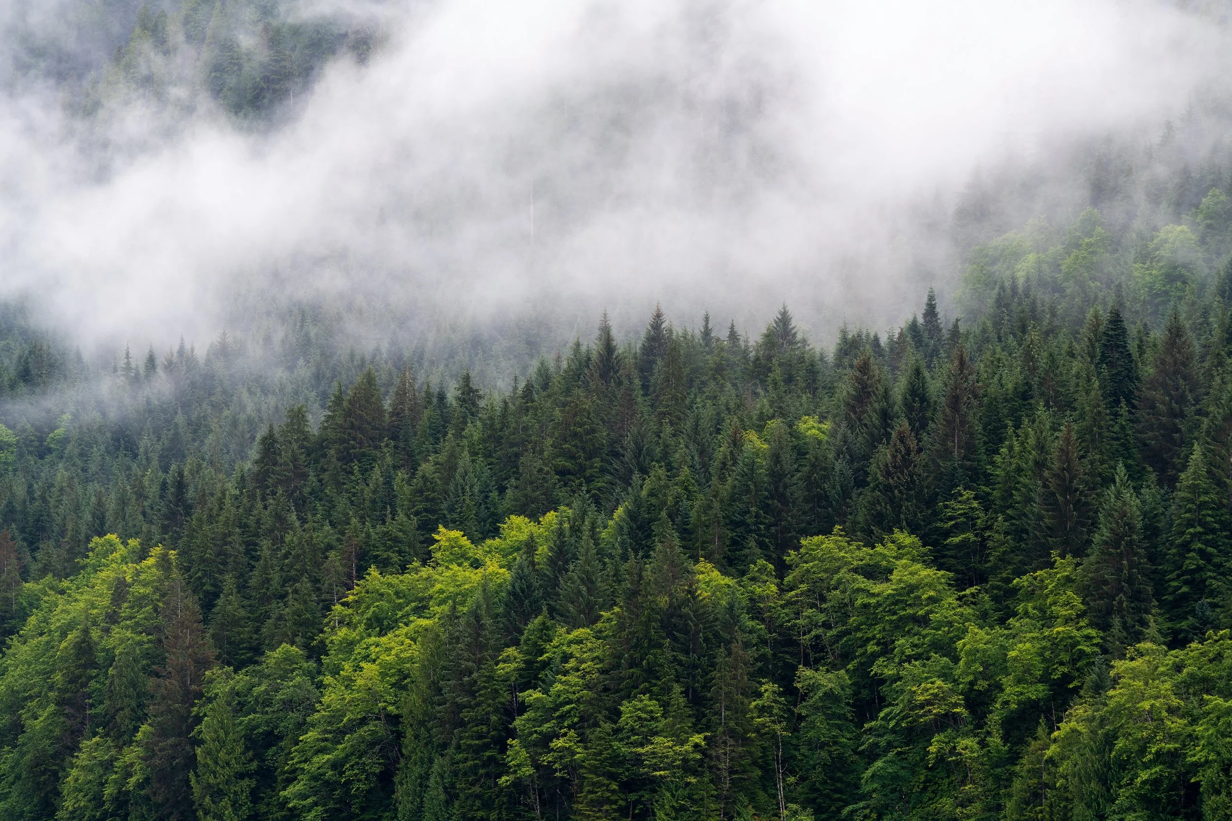
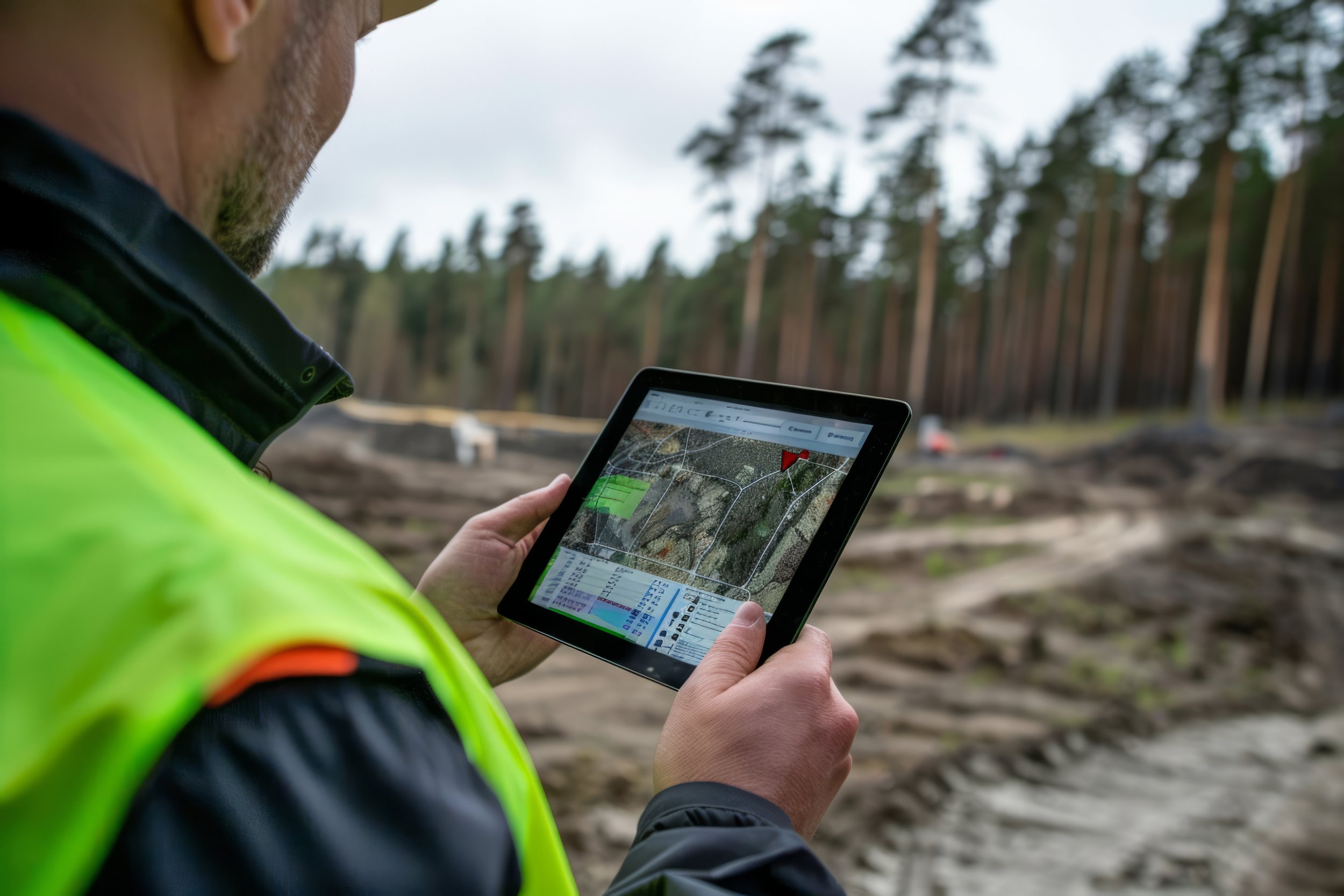
Forestry
We support forest managers, timber operations, and reforestation projects with canopy analysis, growth tracking, and change detection—without needing to walk every acre.
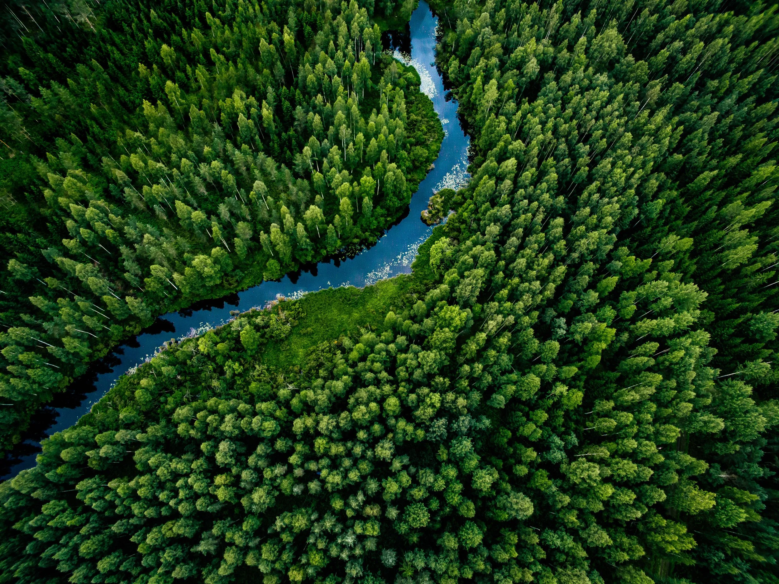
Environmental Restoration
Whether it’s a wetland, watershed, or restoration site, we help you track environmental change over time—from erosion and canopy loss to habitat condition and invasive species—using accurate, high-resolution aerial data.